
Words and photos by Dave Britten
There’s a Khyber Pass about 40km from the Wellington ferry terminal, and it was the first stop on Dave Britten’s ride to the North Island’s named saddles and passes. His rules were simple: each had to have an official name and be reachable by motorcycle without special permission.
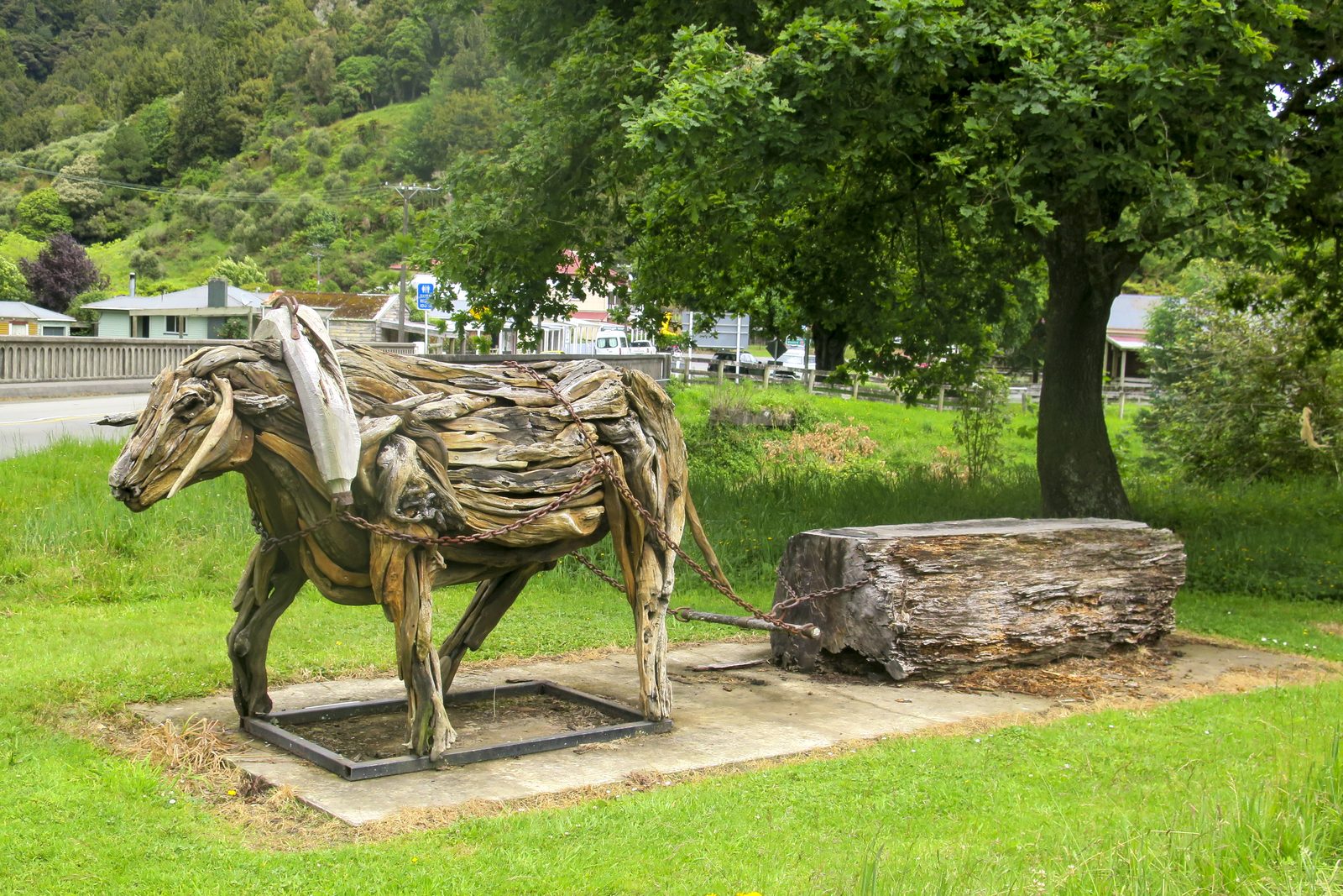
State Highway 43, the Forgotten World Highway, between Stratford and Taumarunui. Photo: Dave Britten.
Khyber Pass and Remutaka
Loyal readers of BRM (you know who you are!) will recall that a while ago I wrote an article about riding around the South Island to all the saddles and passes that you can get to as of right.
There are about 100 of them and it took me a long time to reach them all. Still, once I’d finished that project, the obvious next one was to ride to all the possible North Island saddles and passes. So I did.
The same rules applied in the north as the south: their names must be official (that is, found in NZ Gazetteer or on NZ Topo Map), and they have to be reachable by motorbike without needing any permission, keys, or fees to pay. Thus, research showed that there are fewer than 20, and all can be ridden to on any size bike. The trip appeared to be about 2000km from Wellington to Wellington, so I allowed three full days, and I took my BMW R1200GSA.
MORE ARTICLES
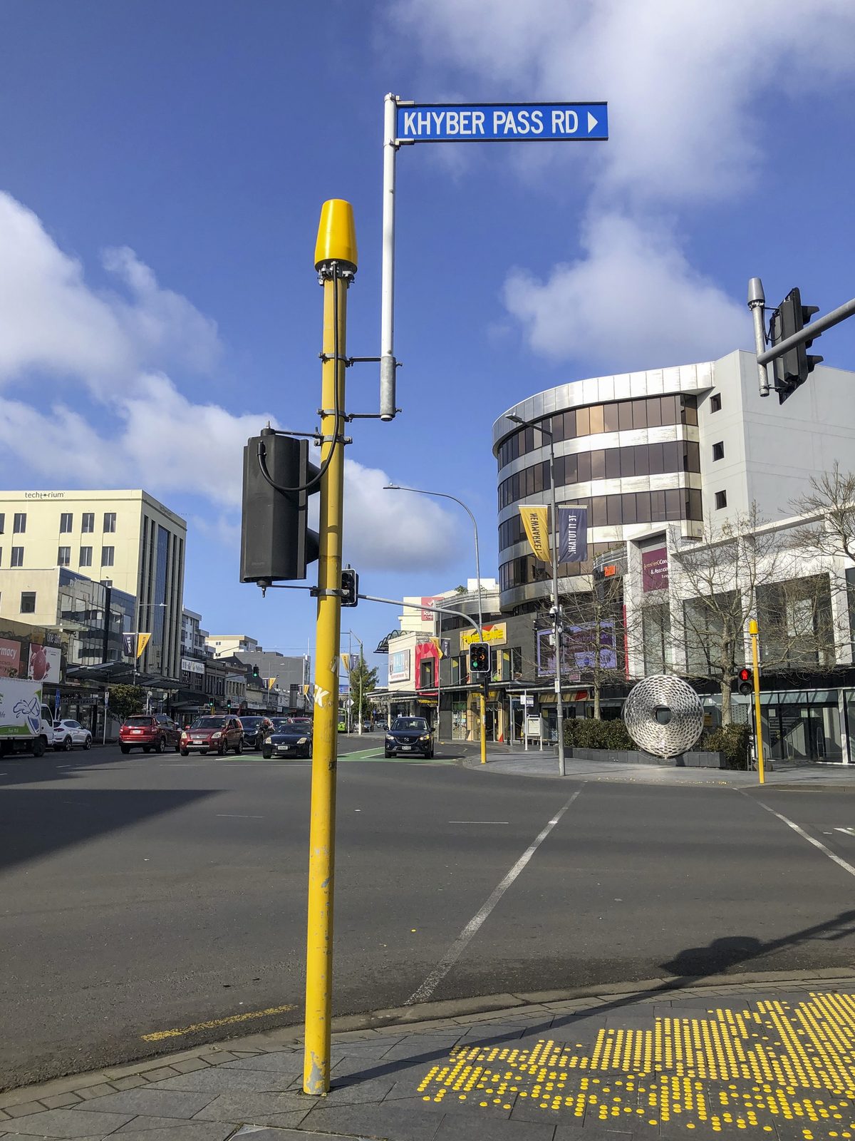
Now, when someone says ‘Khyber Pass’, you might think of either Khyber Pass Road in Auckland (although there is no actual pass there), or the original Khyber Pass in Pakistan at 1070m high. There is, however, another, and it is only 40km from the Wellington ferry terminal. It is also only about 20m above sea level (yes, twenty!) making it the world’s lowest named pass. I had to go there first!
You can’t beat Wellington on a good day, and this day was one of the best. Clear blue sky, a light breeze, and warm late afternoon sunshine. Off the ferry, up the motorway to Petone, over the hill to Wainouiomata, and then south to the coast. There it was, at a wee cutting. My first Pass was knocked off within the hour.
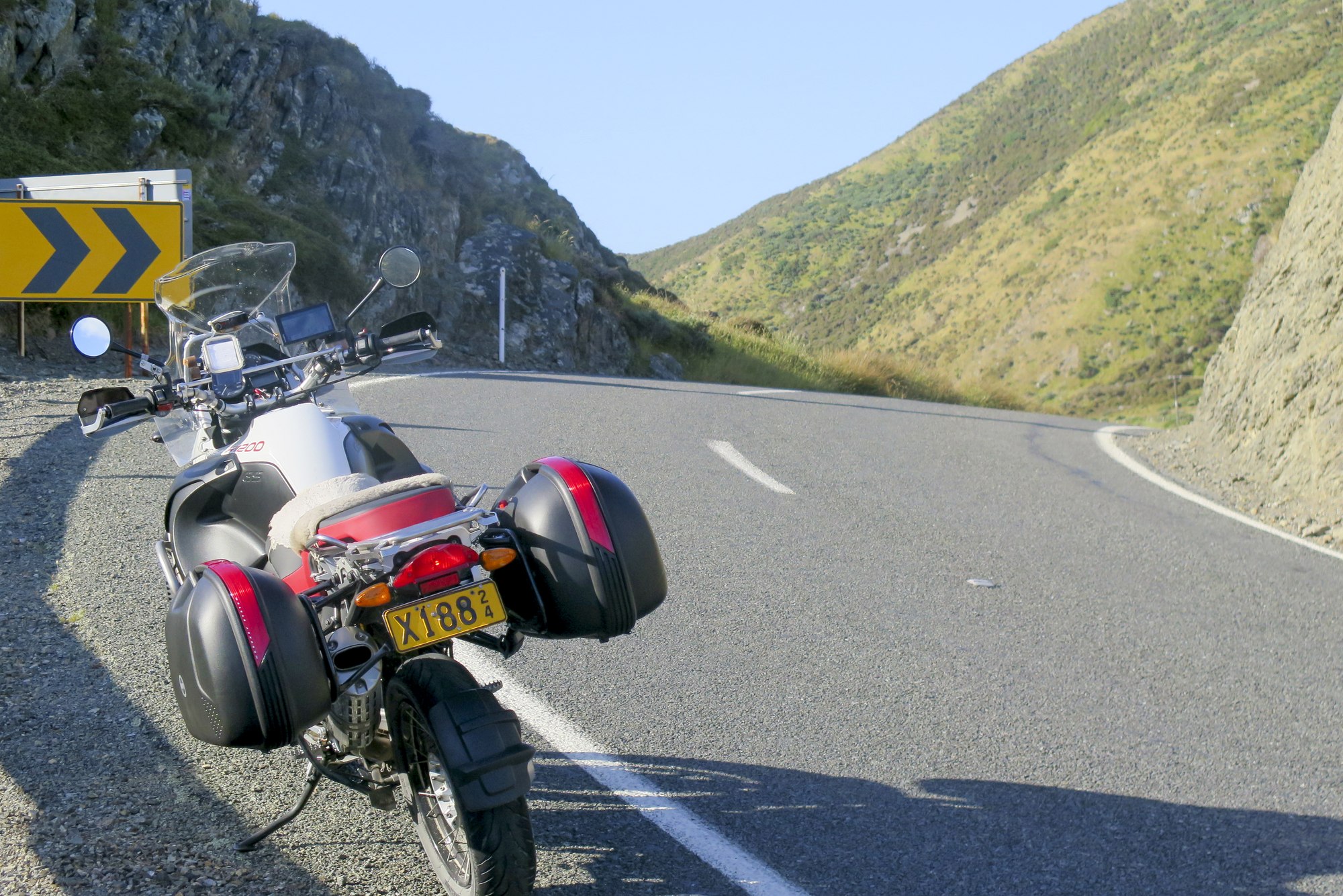
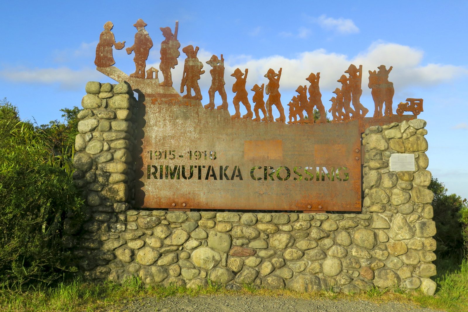
I returned to the motorway and continued north, to that well-known biker’s road over the Remutaka Hill. This was a nostalgic moment for me, as a great many years ago I was studying for my NZ Certificate of Aeronautical Engineering at the Central Institute of Technology (CIT) at Heretaunga in Upper Hutt, and on my ‘big bike’ at the time, an ex-Traffic Department Honda CB500 Four, I’d ride that hill most weekends. Back then, there weren’t any no-overtaking yellow lines and traffic was much lighter, so a good fast return run was a near certainty. Still, on this day, and in the early evening, I had no great hold-ups, so having stopped at the summit (Remutaka Pass) and admired the soldiers’ memorial, I continued to Masterton for the night.
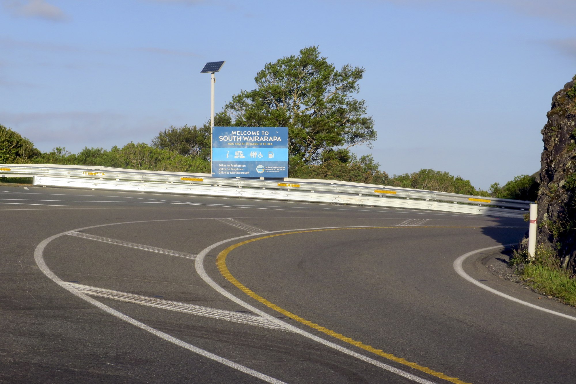
As an aside, what’s with the speed limits in that area? It’s 100km/h over the winding hill road, which is about the right pace for a bike, although it is quicker than most cars will go. But from Featherston to Masterton, on wide, flat, straight roads, there's nothing more than 80 km/h permitted. I really don’t get it, but being a (cough) law-abiding fellow, that limit was observed.
Day 2 – Saddle No.1
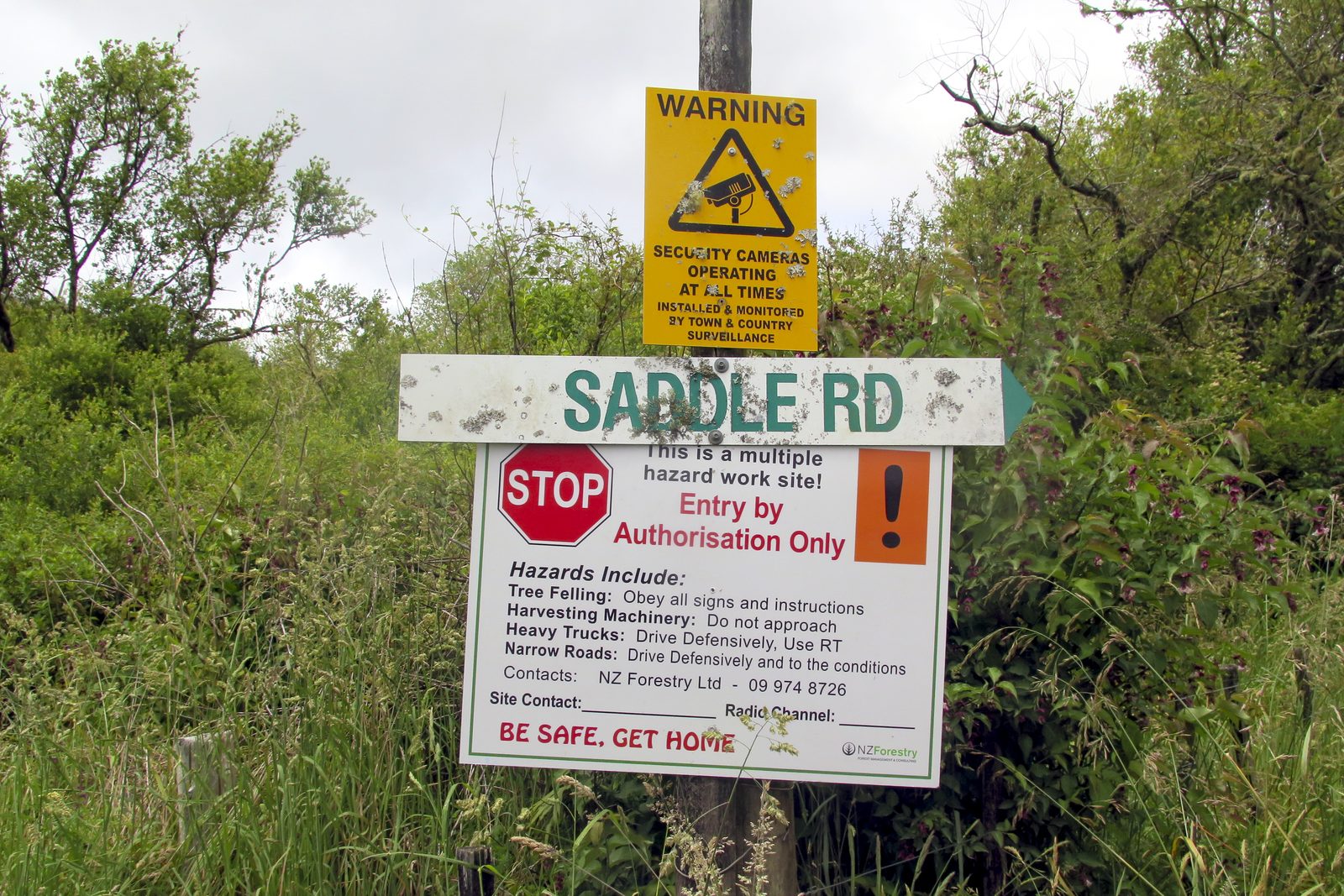
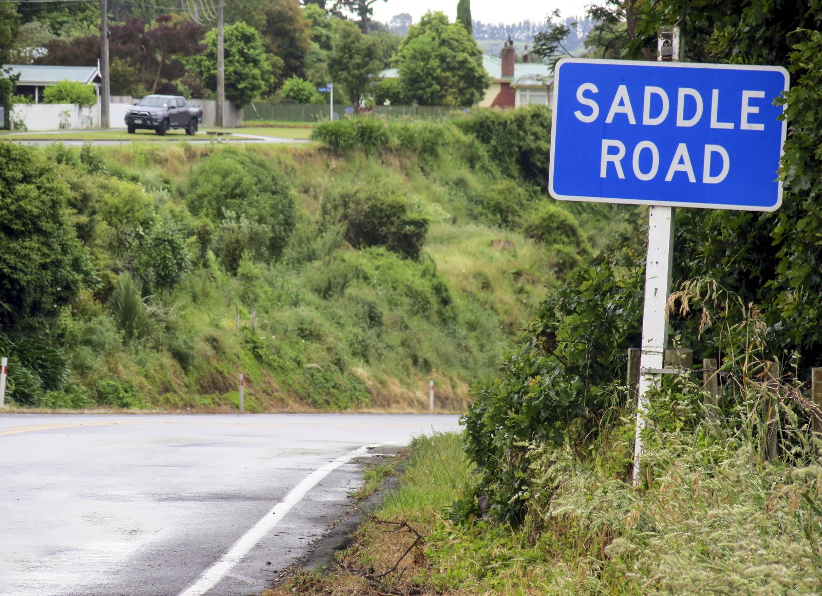
The next day, I started early and was away by 6am. With the Manawatu Gorge closed, most traffic now crosses the gap between the Tararua and Ruahine Ranges via Saddle Road, out of Woodville. More nostalgia; when I was based at RNZAF Ohakea for a year, I’d frequently ride my ‘big bike’ (now a Yamaha XJ750) for a scrape over this quiet back road. Then, it was 100km/h and barely used. Now, it’s 60km/h and choked with traffic. And it was raining. Heavily. No fun at all, but at least my first saddle was achieved.
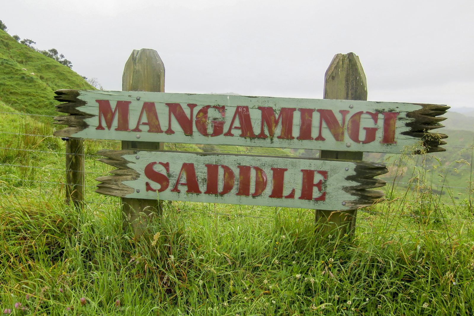
The rain varied between light showers and torrential downpours all the way to Eltham, where I turned east. This sealed road narrowed until it became one lane wide and to my complete and pleasant surprise, at the top of a short climb was a sign saying Mangamingi Saddle. This hadn’t shown on my research, but I’ll take it, anyway! The saddle that I was intending, Omoana Saddle, was a lot further on and is where the gravel starts. Luckily, I’d met no oncoming traffic at all, and the same on the way back, as the limited view on the tight, winding, undulating road would give little warning of a head-on.
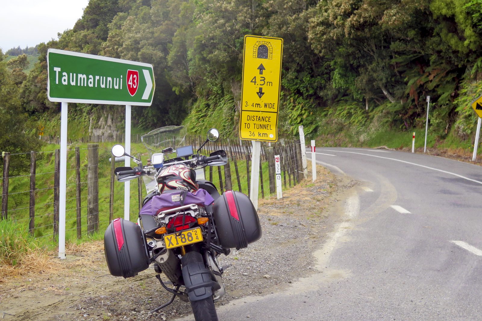
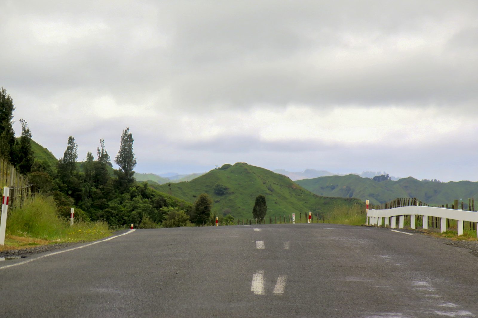
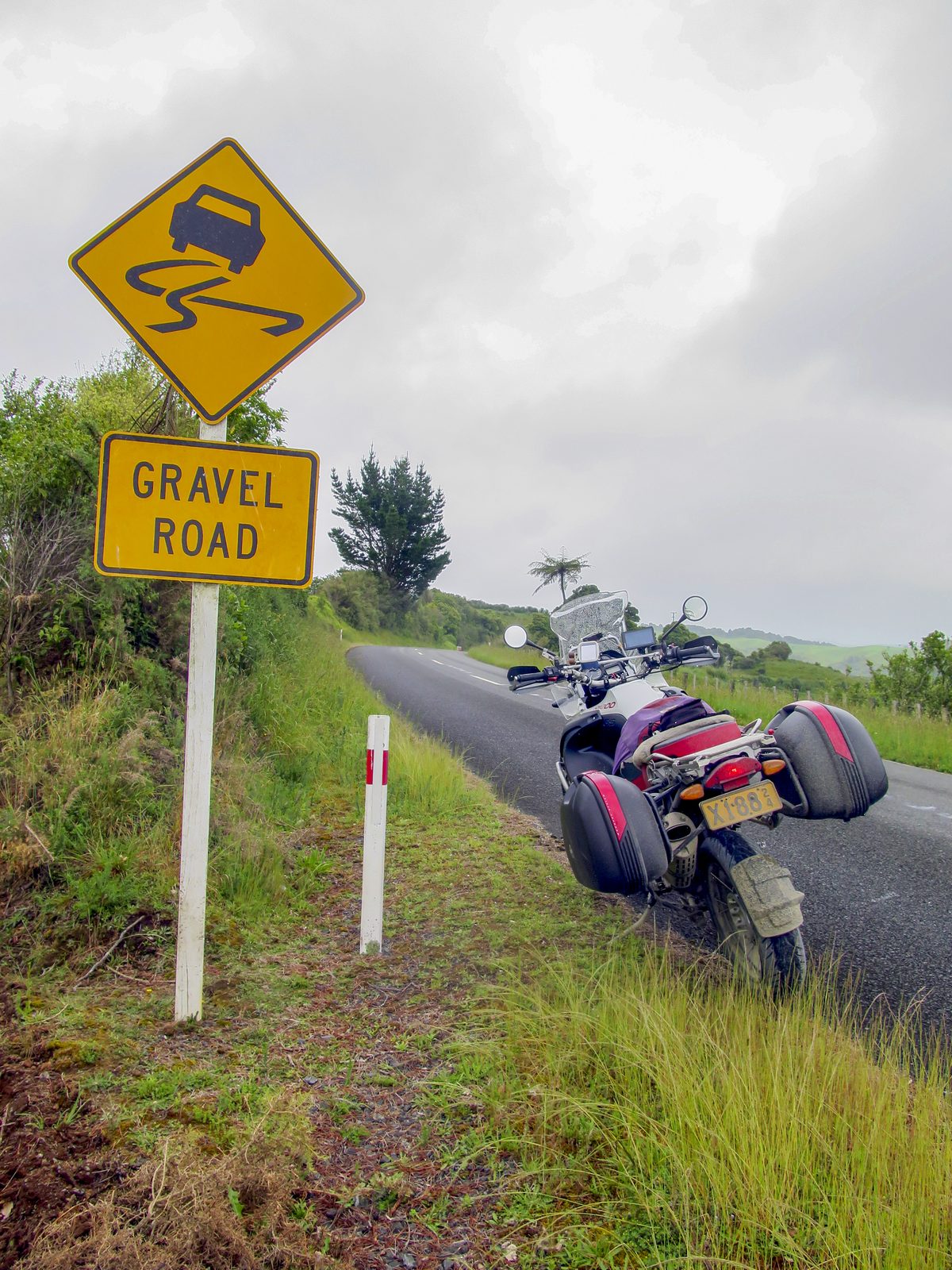
Only a few km north of Eltham is Stratford, and it’s from here that the Forgotten World Highway (State Highway 43) commences its 150km run to Taumaranui. This road is well known to motorcyclists who revel in its challenges, but the gravel portions, which have kept most of the tourist traffic away, are soon to be sealed. There are only two short sections of shingle left, both of which are in the Tangarakau Gorge; one, at 500m, is ready to seal (at the time of writing in early December 2024), and the other, at 1500m, is being prepared. There's also the Moki Tunnel to ride through, which is 180m long and dark!
By now, the rain had cleared and so to stop to photograph the succession of five saddles on this road (in order; Strathmore, Pohokura, Whangamomona, Tahora, Paparata), all of which are about the same height as each other at around 270m, gave me a good chance to have a leg stretch.
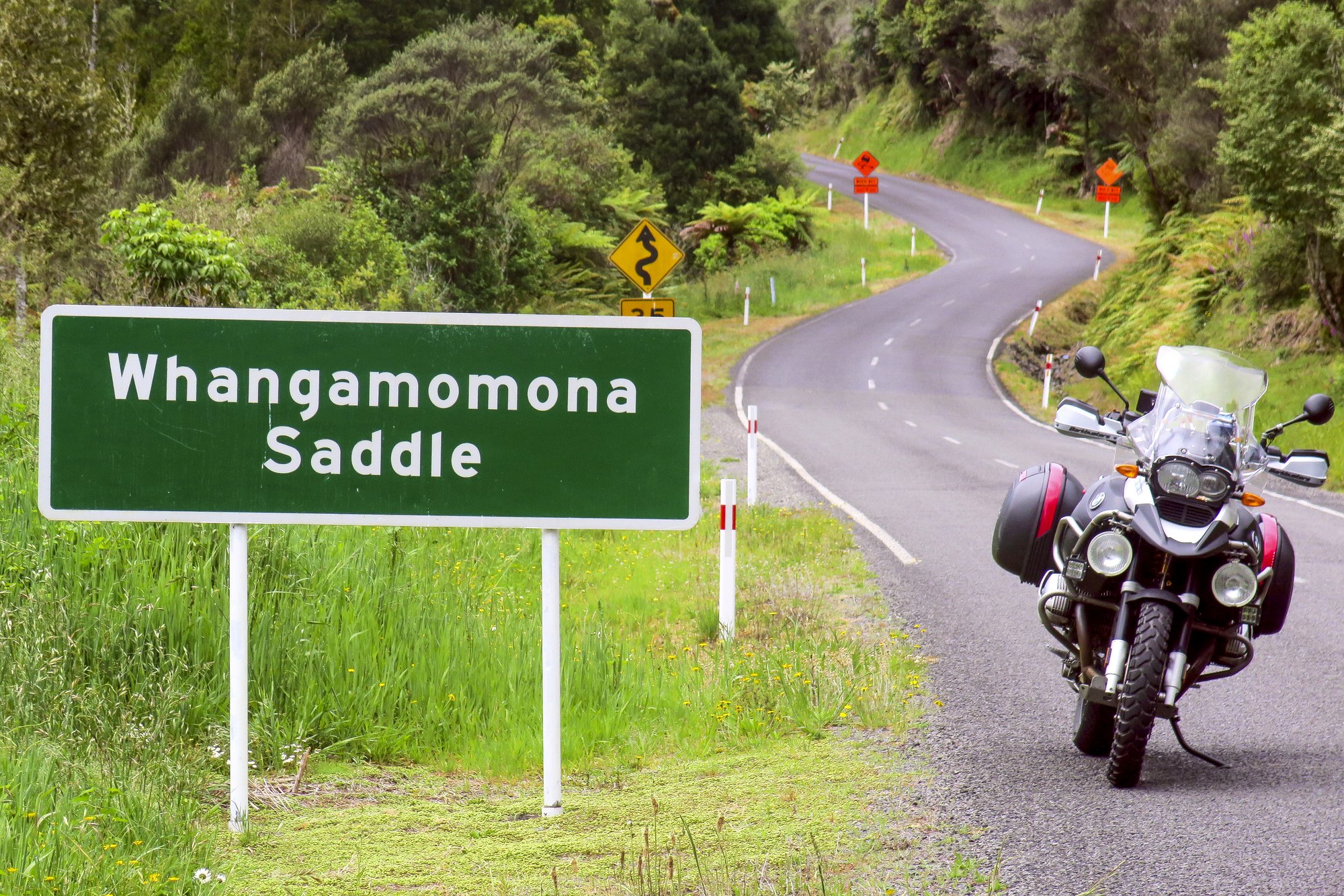
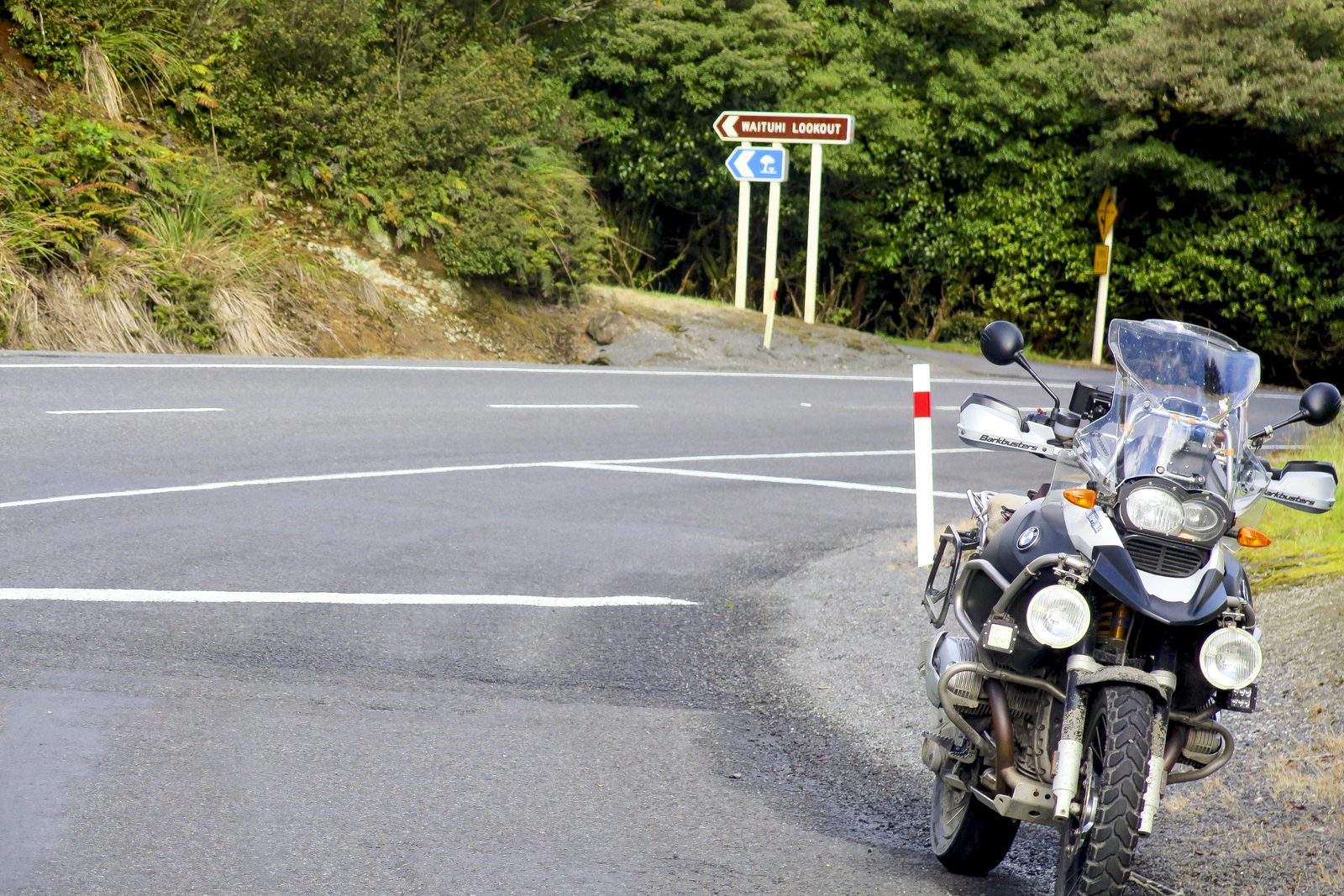
There’s another more remote saddle in the vicinity, on a rough shingle road west of the small settlement Ohura. Waitaanga Saddle is twice the height of the others nearby, and in the rain, which had now returned, it wasn’t a lot of joy to reach. However, once back on SH43, and nearing Taumaranui, which was my destination for the day, the rain cleared once more. I left my luggage at my motel, and then headed further east, on SH41, to Waituna Saddle. And as it was by now a warm and sunny evening, I returned to Taumaranui the long way, riding via Tokaanu and SH47 to National Park, and finally north on SH4. A lovely loop to end the day after 13 hours on my bike.
Day 3 – French Pass in the North Island? Who knew…
The next morning dawned fine and mild, so I was hopeful of a dry day as another long ride loomed. I initially rode north on SH4, which at such an early hour was barely in use, and it was a real delight to follow its contours as it meanders along until the junction with SH3. I then turned southwest, which was also an absolute pleasure on a similarly winding road, almost to Awakino.
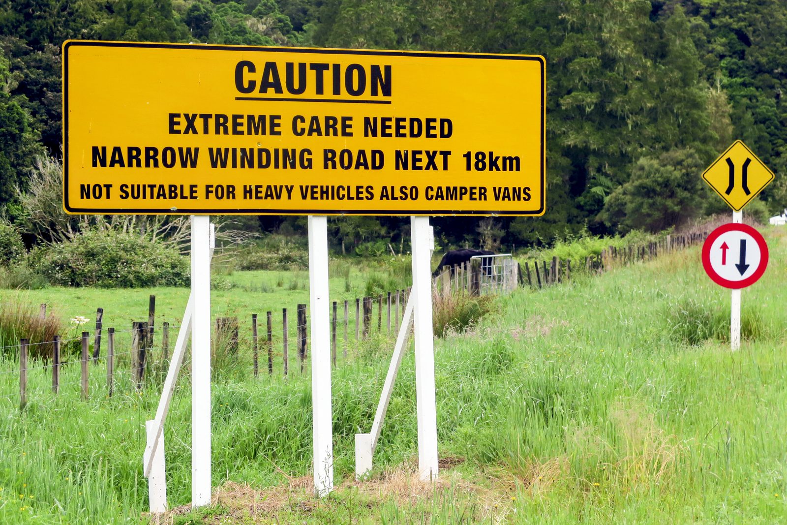
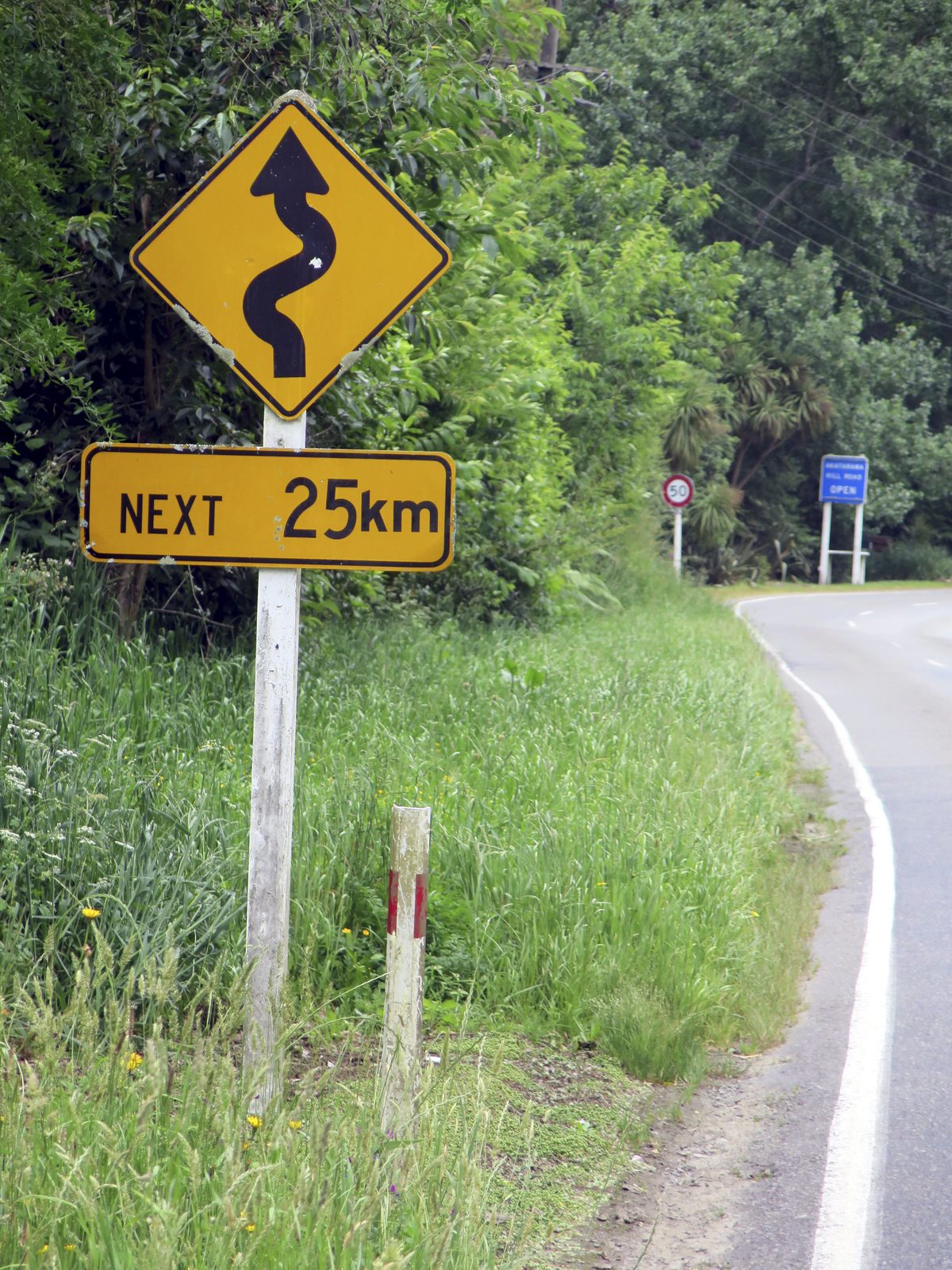
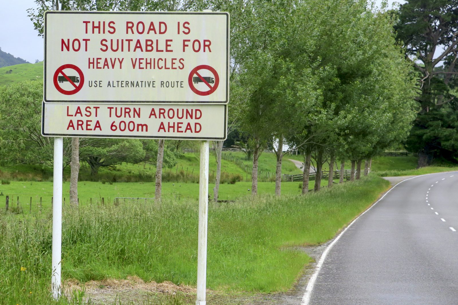
From here, Manganui Road took me north, following the river of the same name. Although this road is sealed, it is particularly narrow and curving; one’s throttle hand must be extremely disciplined to reduce the risk of unexpectedly meeting oncoming cars, none of the drivers of which might expect to see a bike taking up most of the road’s width. Light rain was now falling and it was hard to keep my visor clear at the low speed at which I could safely travel. I was mainly in the bottom rev range of 3rd or 4th gear, and sometimes dipping into 2nd.
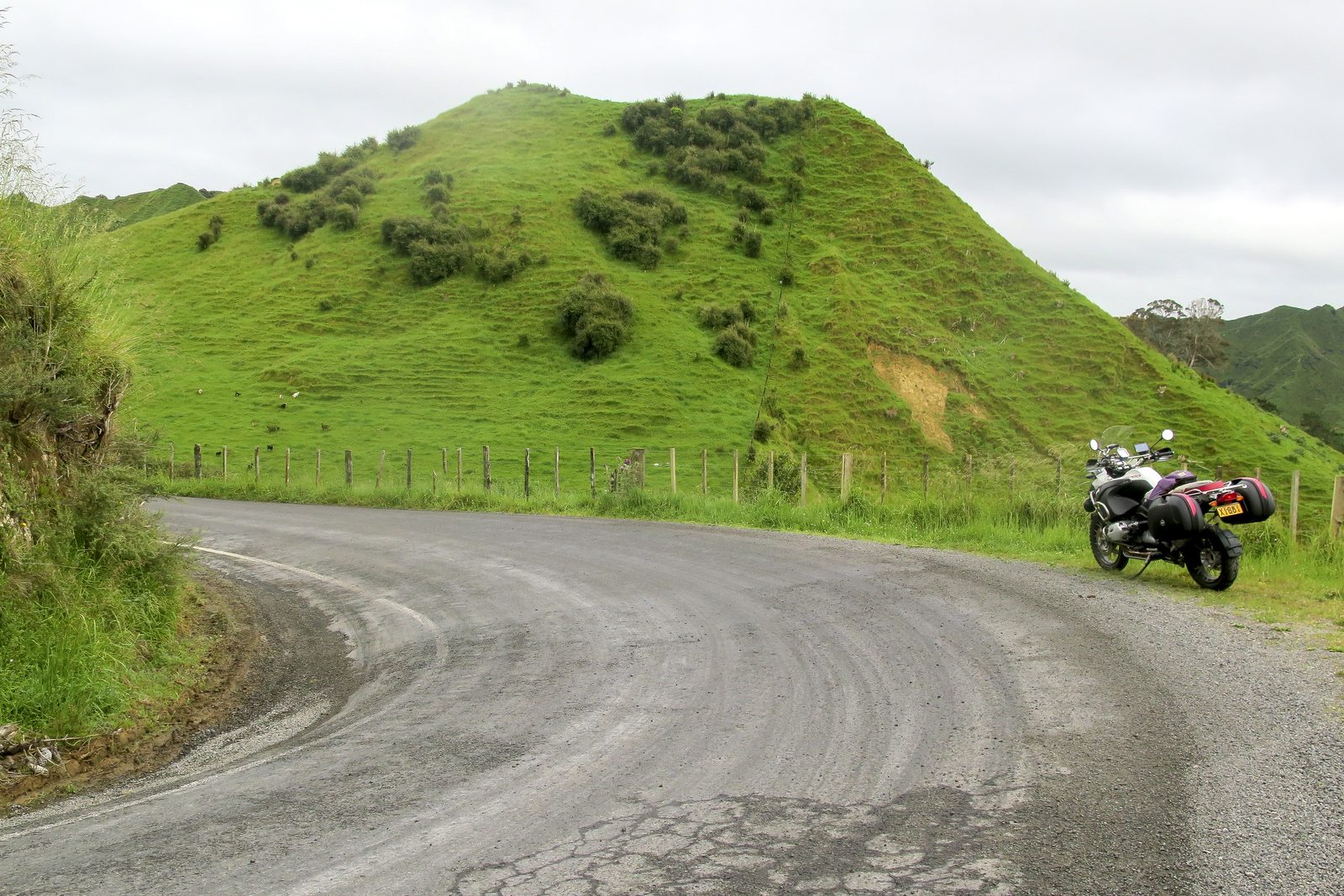
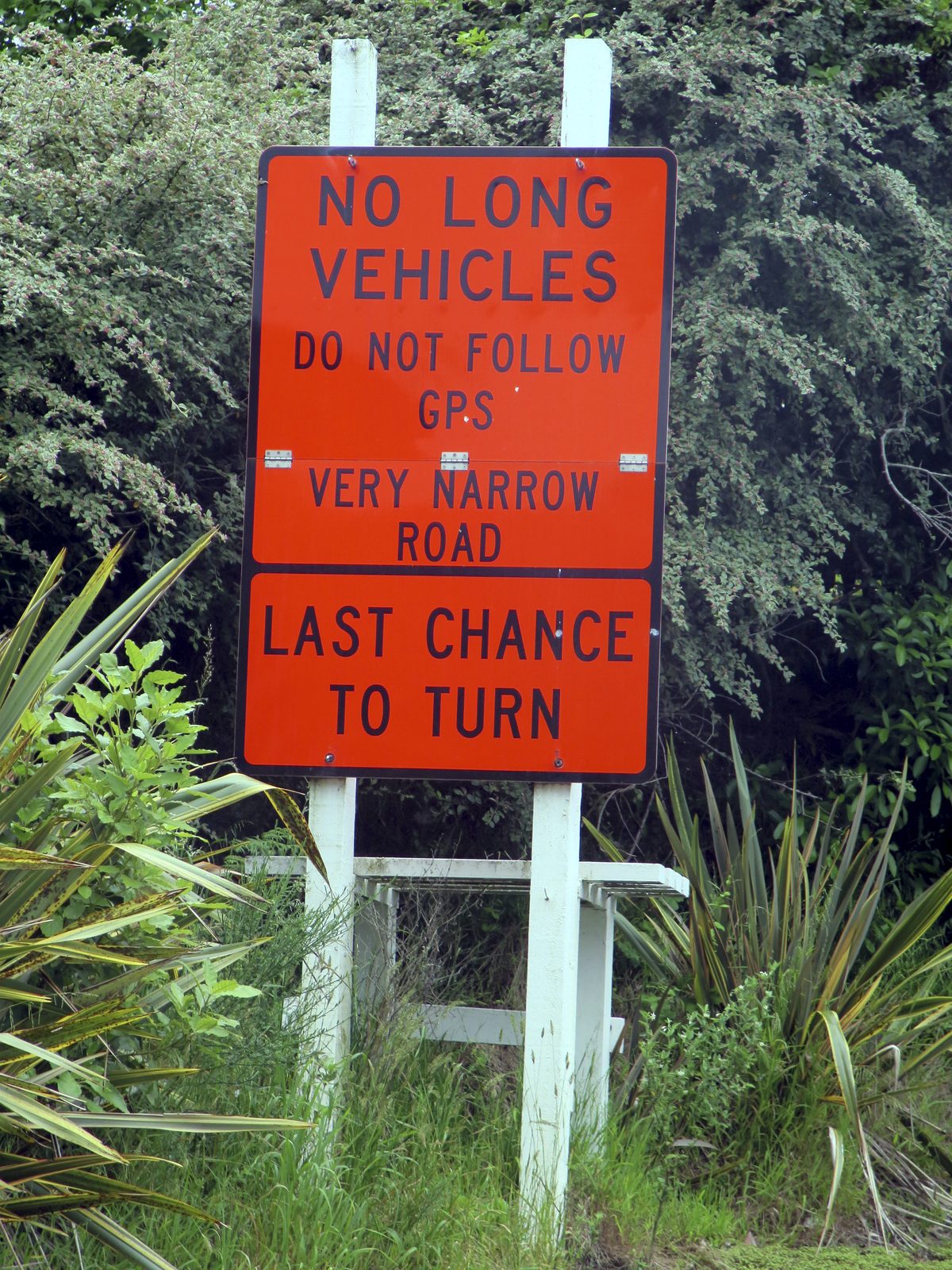
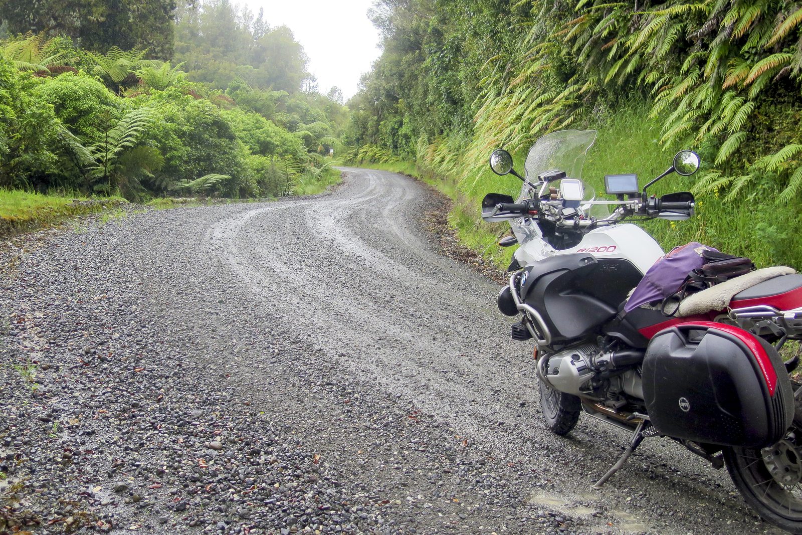
Not long past Mangatoa Saddle the seal ends and then the road really becomes narrow. I’m not exaggerating when I say that it is barely one lane wide and through bush. The corners had tightened to the extent that slipping the clutch in first gear was often necessary on the steepest bends, and every corner was blind, with the gravel rough and the clay slippery.
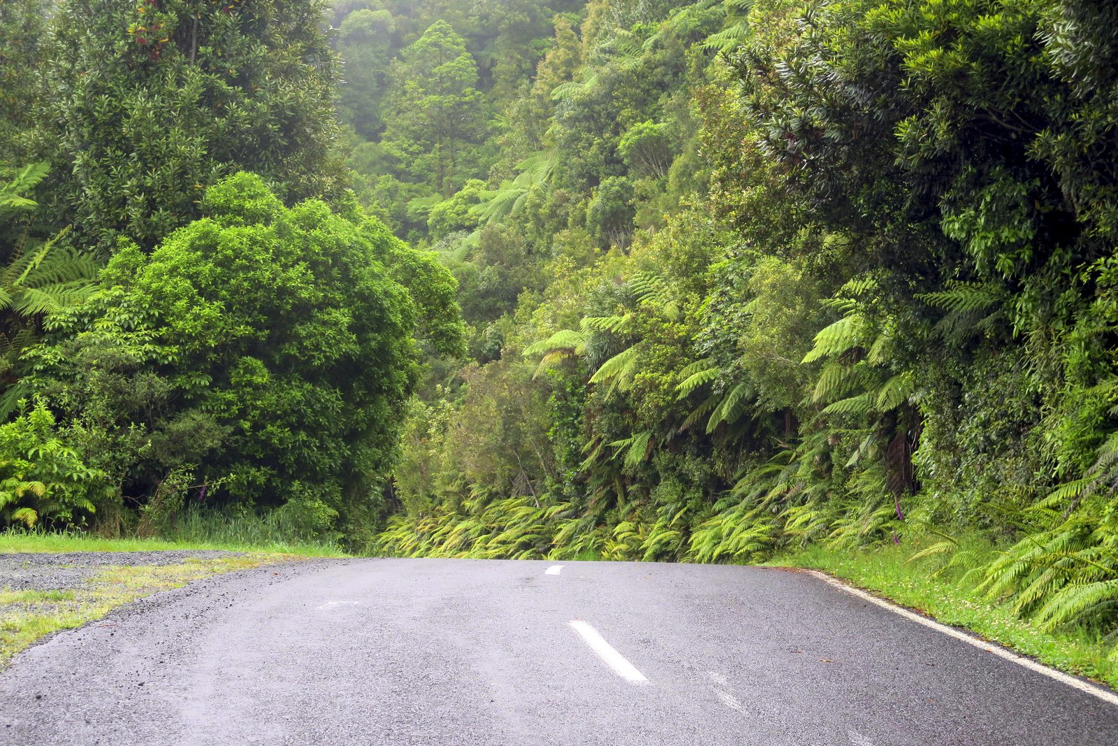
For nearly an hour, I didn’t get higher than 2nd gear and I never saw more than 30km/h on my speedo. What I did see was an extra bar of oil temperature, such was the low speed. It was with some relief that I made it unscathed to SH3 a little north of Te Kuiti and that the rain had finally stopped. Otorohanga, Te Awamutu, and Cambridge all came and went.
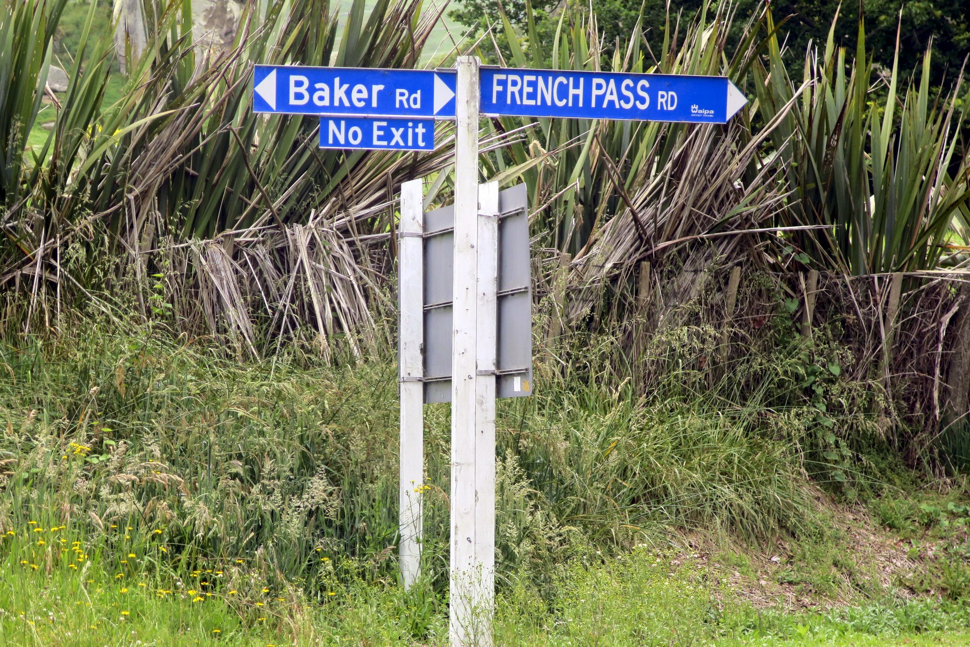
Ask an adventure rider where French Pass is, and you’re likely to be told that it’s a small settlement at the end of a long dusty road in the northern reaches of the Marlborough Sounds. Those riders are correct, of course, but not many know there’s an even smaller settlement by the same name just east of Cambridge, and naturally, French Pass Road leads to it. Another Pass located!
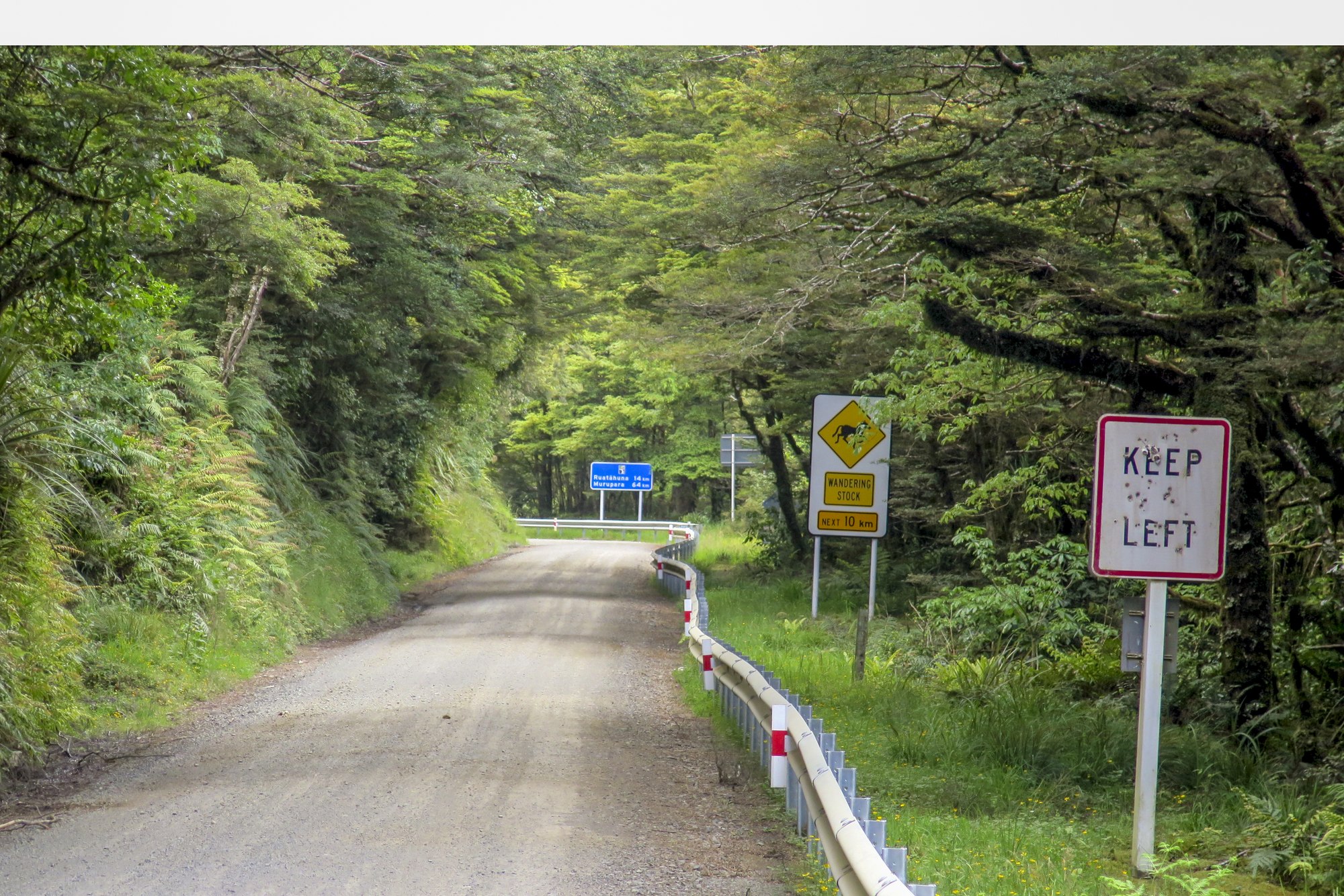
From here, it was a long haul on busy roads (where are all the trucks going?) through Tirau and Rotorua to Murupara where I arrived at the solitude of the Lake Waikaremoana Road, SH38. The majority of this road is gravel, and it's mostly of a decent width. What is unpleasant, though, is its corrugations and potholes, which are in abundance. Even with my Ohlins suspension, I could feel the bike hammering over the imperfections, and with a road back tyre and loaded panniers, I was careful not to allow the 'tail to wag the dog'. On the roadside and on the road, I came across horses, goats, pigs and piglets all running wild. I passed far more than five unlucky possums!
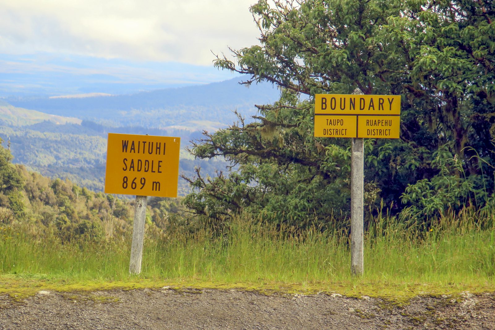
I only caught and overtook two cars, both on the Wairoa side of the high point at Taupeupe Saddle, so dust was not of great concern. The sun was shining brightly and the temperature was around the mid-twenties, therefore other than the shuddering over the corrugations and potholes, it was a fairly enjoyable three hours. There are occasional great views over Lake Waikaremoana.
That road ended my unsealed riding of this trip, and I now headed south on SH2 past Napier, Hastings, and Waipukurau to arrive at my accommodation for the night in Dannevirke, after another 13 hours riding.
Final Push
On my final day, and with only one more saddle to reach, I didn’t have to make an early start. Bluebridge had cancelled my overnight sailing that evening from Wellington to Picton, and since they had no space available until the following day I cashed in my ticket and booked myself on the late afternoon crossing on the Interislander.
I departed Dannevirke by mid-morning, made my way over Saddle Road from Woodville to Ashurst again (this time in dry conditions, but in much heavier traffic), and by-passed Palmerston North before joining SH1 south at Levin. The Kapiti Expressway, now with a sensible speed limit of 110km/h, was despatched without delay. I exited at Waikanae, for the final photograph at Akatarawa Saddle.
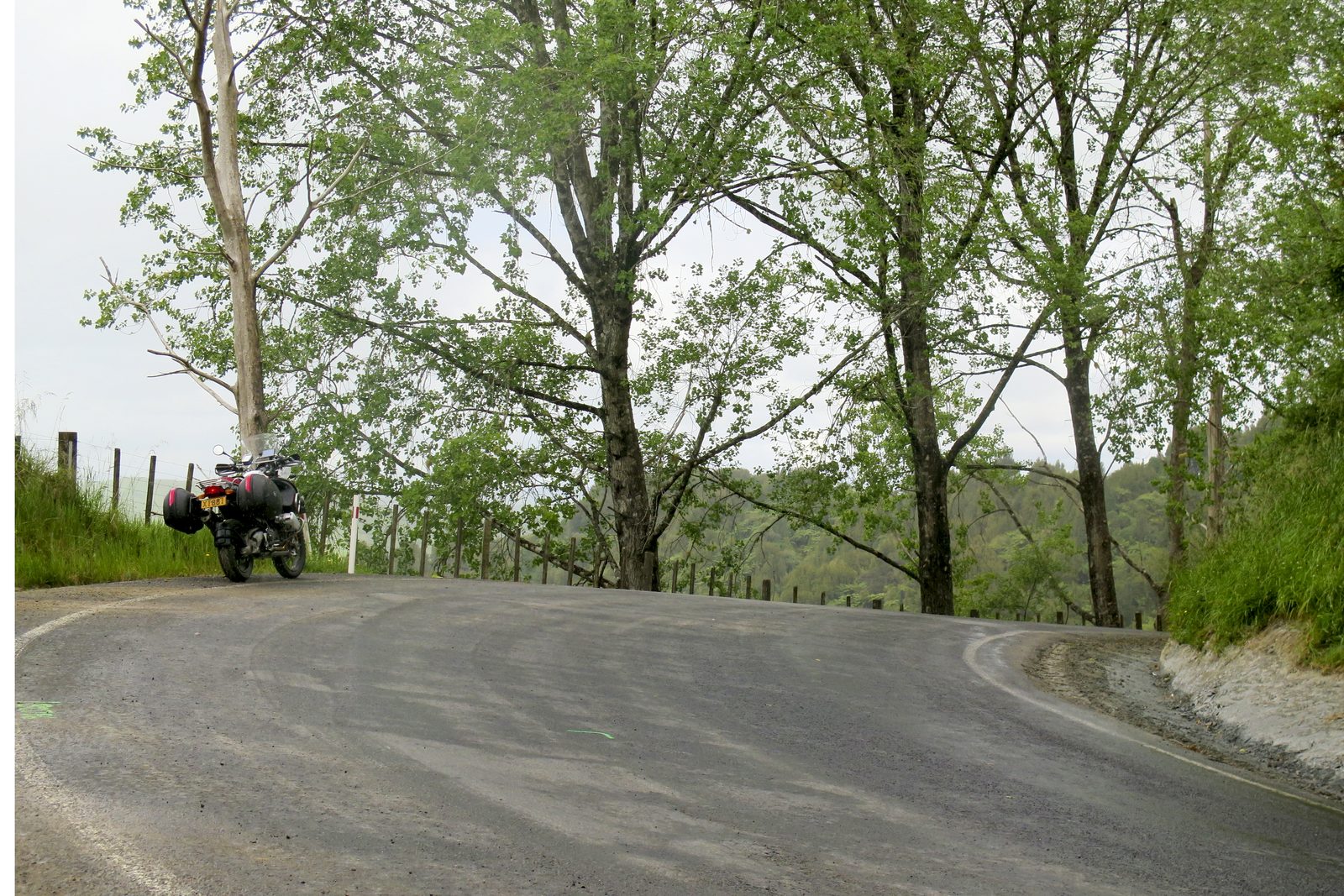
The Akatarawa Road was also a nostalgic one. All those decades ago, as well as my big bike (CB500) at CIT, my ‘medium bike’ was a red and black XL350. The clue to what year this was is that the XL was still a current model…. No more ideal bike for this road existed at that time. Reasonably light with a relatively punchy engine, the 350 suited the narrow road, the tight turns, and the climbs and descents perfectly. Speed was low then. It was even lower now on my BMW, seeing only first and second gears for 15km. I really felt its weight and comparative clumsiness as I had to hug the road’s left edge in case there were oncoming cars, and the surface was wet, as fog had set in.
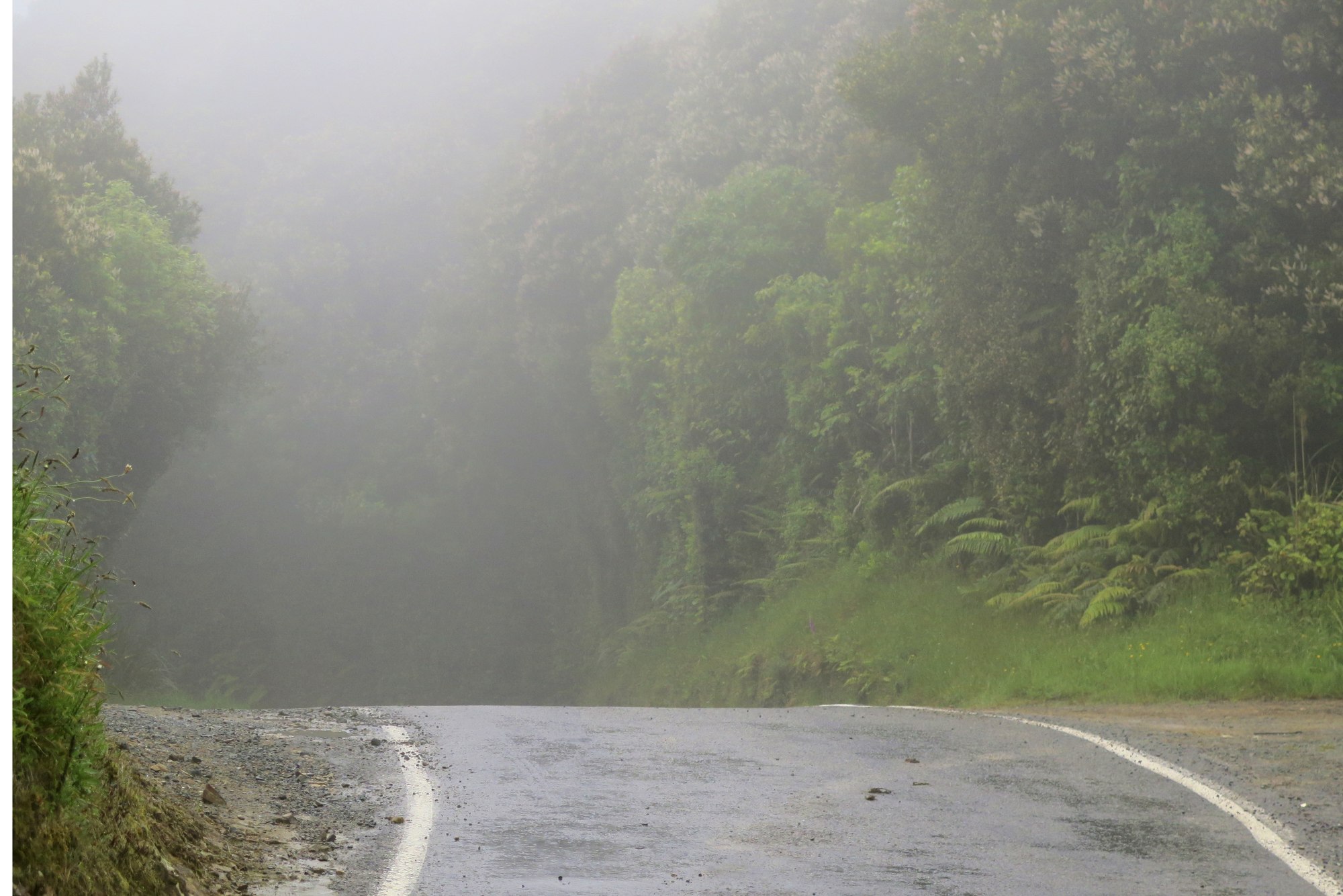
Happily, I saw no other motorists, and I’d concluded my North Island project without mishap. All that was left was to return to Waikanae, as I wanted to experience the Transmission Gully motorway. Never mind the price; that's quite a civil engineering success, and I arrived at the ferry easily and on time for my sailing. Of course, despite departing Wellington on time, it was too much to expect an on-time arrival, and we were an hour late docking in Picton. That said, it was a warm night and four hours later I was home and ready for a sleep. My bike, filthy from front to back after days of riding gravel roads in the rain, and from meeting millions of moths on my final night, desperately needed washing. That could wait until tomorrow.
Is there another project in planning? Of course there is. Watch this space!
Saddle or Pass? What Are They And How Many Does NZ Have?
Well, the short answer to how many is "Thousands". You only have to look at a topographical map to be almost overwhelmed. In particular, the Southern Alps are crammed full of them. But how many of them can you ride your motorcycle to? That's what DB has challenged himself to find out.
But what makes a pass or a saddle? You'd think that passes and saddles were high points on roads. It seems logical; you climb to the summit (of a pass or saddle) and then descend. However, the correct definition for both saddles and passes, according to Topo Maps (as produced by Land Information New Zealand, the official government-produced maps), is "A low point in a range of hills". A subtle but important difference.
And Dave's definition of "being able to be ridden to" is that you can go there as of right, without any permission needed, locked gate, or payment involved.
First published in Bike Rider Magazine, issue #239.

North Island photo gallery